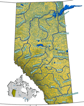
Nakamun Lake (Alberta)
| Nakamun Lake | |
|---|---|
| Location | Lac Ste. Anne County / County of Barrhead No. 11, Alberta |
| Coordinates | 53°53′04″N 114°11′58″W / 53.88444°N 114.19944°WCoordinates: 53°53′04″N 114°11′58″W / 53.88444°N 114.19944°W |
| Primary outflows | Toad Creek |
| Catchment area | 44.9 km (27.9 mi) |
| Basin countries | Canada |
| Max. length | 2.2 km (1.4 mi) |
| Max. width | 0.8 km (0.50 mi) |
| Surface area | 3.54 km2 (1.37 sq mi) |
| Average depth | 4.5 m (15 ft) |
| Max. depth | 8.0 m (26.2 ft) |
| Water volume | 1,500,000 m3 (53,000,000 cu ft) |
| Residence time | 21 years |
| Shore length1 | 12.5 km (7.8 mi) |
| Surface elevation | 683.03 m (2,240.9 ft) |
| Settlements | Nakamun Park |
| References | [1] |
| 1 Shore length is not a well-defined measure. | |
Nakamun Lake is a lake in Alberta.
References
- ↑ Mitchell, Patricia; Prepas, Ellie E. (1990). Atlas of Alberta lakes. Edmonton: University of Alberta Press. ISBN 0888642156. Retrieved 7 June 2016.
This article is issued from Wikipedia - version of the 6/8/2016. The text is available under the Creative Commons Attribution/Share Alike but additional terms may apply for the media files.