Nalleppilly
| Nalleppilly | |
|---|---|
| village | |
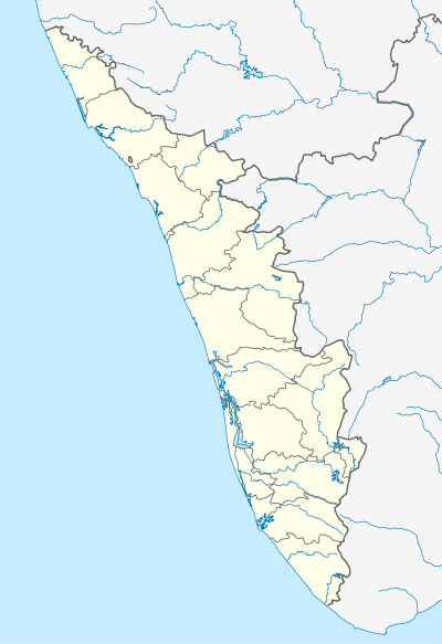 Nalleppilly  Nalleppilly Location in Kerala, India | |
| Coordinates: 10°43′59″N 76°48′00″E / 10.733°N 76.8°ECoordinates: 10°43′59″N 76°48′00″E / 10.733°N 76.8°E | |
| Country |
|
| State | Kerala |
| District | Palakkad |
| Government | |
| • Type | Panchayati raj (India) |
| • Body | Gram panchayat |
| Area | |
| • Total | 28 km2 (11 sq mi) |
| Population (2010) | |
| • Total | 32,044 |
| • Density | 1,100/km2 (3,000/sq mi) |
| Languages | |
| • Official | Malayalam, English |
| Time zone | IST (UTC+5:30) |
| PIN | 678553 |
| Telephone code | 04923 |
| Vehicle registration | KL-9 |
| Nearest city | chittur |
| Literacy | 58.2% |
| Lok Sabha constituency | Alathur |
| Vidhan Sabha constituency | Chittur |
| Climate | dry (Köppen) |
Nallepilly or Nallepilly is a village in the Palakkad district, state of Kerala, India.[1] It is the main village of the Nalleppilly gram panchayat and forms a part of the Chittur taluk.[2]
Demographics
As of 2001 India census, Nallepilly had a population of 32,044 with 15,566 males and 16,478 females.[1]
References
- 1 2 "Census of India : Villages with population 5000 & above". Registrar General & Census Commissioner, India. Retrieved 2008-12-10.
- ↑ "Reports of National Panchayat Directory". Ministry of Panchayati Raj. Retrieved 29 December 2013.
This article is issued from Wikipedia - version of the 10/18/2016. The text is available under the Creative Commons Attribution/Share Alike but additional terms may apply for the media files.