Nanauta
| Nanauta | |
|---|---|
| Town | |
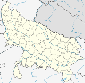 Nanauta  Nanauta Location in Uttar Pradesh, India | |
| Coordinates: 29°42′43″N 77°25′01″E / 29.712°N 77.417°ECoordinates: 29°42′43″N 77°25′01″E / 29.712°N 77.417°E | |
| Country |
|
| State | Uttar Pradesh |
| District | Saharanpur |
| Elevation | 255 m (837 ft) |
| Population (2001) | |
| • Total | 16,992 |
| Languages | |
| • Official | Hindi |
| Time zone | IST (UTC+5:30) |
| Vehicle registration | UP |
| Website |
up |
Nanauta is a town and a Nagar Panchayat in Saharanpur district in the Indian state of Uttar Pradesh.Nanauta is located on Saharanpur Delhi Highway.
Demographics
As of 2001 India census,[1] Nanauta had a population of 16,992. Males constitute 53% of the population and females 47%. Nanauta has an average literacy rate of 52%, lower than the national average of 59.5%: male literacy is 60%, and female literacy is 43%. In Nanauta, 18% of the population is under 6 years of age. Nanauta and the adjoining villages are home to the Shaikhzada community
Eduction
- Kisan Sewak Inter College
- Harsh Modern Public School
- Hukum Singh Girls Degree College
- Green Field Academy
- Bright Home Public School
- Government Degree College (Rajkiya Mahavidhyalya)
- Radiant Public School
- S.M.C.Foods Pvt Ltd
- Bansal Studio Nanauta
References
- ↑ "Census of India 2001: Data from the 2001 Census, including cities, villages and towns (Provisional)". Census Commission of India. Archived from the original on 2004-06-16. Retrieved 2008-11-01.
This article is issued from Wikipedia - version of the 11/18/2016. The text is available under the Creative Commons Attribution/Share Alike but additional terms may apply for the media files.