Nata Airport
| Nata Airport | |||||||||||
|---|---|---|---|---|---|---|---|---|---|---|---|
| IATA: none – ICAO: FBNT | |||||||||||
| Summary | |||||||||||
| Serves | Nata, Botswana | ||||||||||
| Elevation AMSL | 820 m / 2,690 ft | ||||||||||
| Coordinates | 20°12′58″S 026°09′32″E / 20.21611°S 26.15889°ECoordinates: 20°12′58″S 026°09′32″E / 20.21611°S 26.15889°E | ||||||||||
| Map | |||||||||||
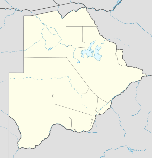 FBNT Location of airport in Botswana | |||||||||||
| Runways | |||||||||||
| |||||||||||
|
Source: Great Circle Mapper[1] | |||||||||||
Nata Airport (ICAO: FBNT) is an airport serving the village of Nata, Botswana.
References
- ↑ Airport information for FBNT at Great Circle Mapper.
This article is issued from Wikipedia - version of the 12/4/2016. The text is available under the Creative Commons Attribution/Share Alike but additional terms may apply for the media files.