Nigavan
Coordinates: 40°37′18″N 44°17′57″E / 40.62167°N 44.29917°E
| Nigavan Նիգավան | |
|---|---|
 Nigavan | |
| Coordinates: 40°37′18″N 44°17′57″E / 40.62167°N 44.29917°E | |
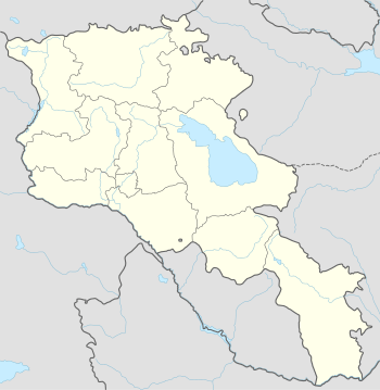
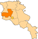
| Country | Armenia |
| Marz (Province) | Aragatsotn |
| Population (2001) | |
| • Total | 707 |
| Time zone | (UTC+4) |
| • Summer (DST) | (UTC+5) |
Nigavan (Armenian: Նիգավան; until 1947, Danagirmaz and Damagermaz; from 1947-1967, Ovit and Hovit) is a town in the Aragatsotn Province of Armenia. The town has a cyclopean fort.
References
- Nigavan at GEOnet Names Server
- Report of the results of the 2001 Armenian Census, National Statistical Service of the Republic of Armenia
- Kiesling, Rediscovering Armenia, p. 22, available online at the US embassy to Armenia's website
This article is issued from Wikipedia - version of the 11/22/2016. The text is available under the Creative Commons Attribution/Share Alike but additional terms may apply for the media files.