Nong Bua Lamphu
| Nong Bua Lam Phu หนองบัวลำภู | |
|---|---|
| Town | |
 Nong Bua Lam Phu | |
| Coordinates: 17°12′15″N 102°26′40″E / 17.20417°N 102.44444°ECoordinates: 17°12′15″N 102°26′40″E / 17.20417°N 102.44444°E | |
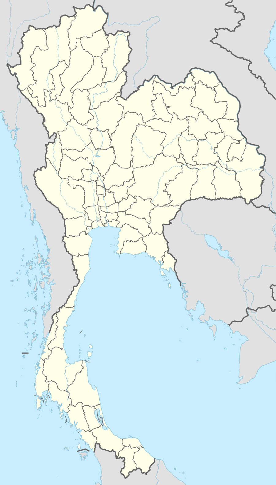
| Country |
|
| Province | Nong Bua Lam Phu |
| Area | |
| • Total | 39.5 km2 (15.3 sq mi) |
| Population (2008) | |
| • Total | 21,072 |
| • Density | 530/km2 (1,400/sq mi) |
| Time zone | ICT (UTC+7) |
Nong Bua Lam Phu (Thai pronunciation: [nɔ̌ːŋ būa lām pʰūː]) is a town in Thailand, capital of Nong Bua Lam Phu Province. It is on the central eastern border of the province, approximately 45 kilometers south-west of the city of Udon Thani and from there, accessed by route 210. The town lies 536 km north-north-east of Bangkok.
See also
- Chalawan, an extinct genus of crocodylian
External links
 Nong Bua Lamphu travel guide from Wikivoyage
| ||
This article is issued from Wikipedia - version of the 3/1/2016. The text is available under the Creative Commons Attribution/Share Alike but additional terms may apply for the media files.