Nyírmada
| Nyírmada | ||
|---|---|---|
| ||
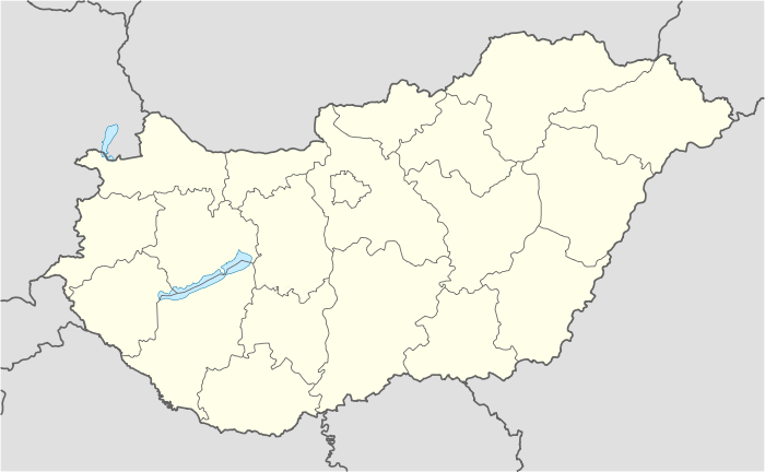 Nyírmada Location of Nyírmada in Hungary | ||
| Coordinates: 48°04′00″N 22°11′18″E / 48.0667°N 22.1882°E | ||
| Country | Hungary | |
| Region | Northern Great Plain | |
| County | Szabolcs-Szatmár-Bereg | |
| Rank | City | |
| KSH code | 12274[1] | |
| Area[2] | ||
| • Total | 38.82 km2 (14.99 sq mi) | |
| Population (1 January 2009)[3] | ||
| • Total | 4,886 | |
| • Density | 130/km2 (330/sq mi) | |
| Time zone | CET (UTC+1) | |
| • Summer (DST) | CEST (UTC+2) | |
| Postal code | 4564 | |
| Area code | +36 45 | |
Nyírmada is a town in Szabolcs-Szatmár-Bereg County, Hungary.
References
- ↑ Nyírmada at the Hungarian Central Statistical Office (Hungarian).
- ↑ Nyírmada at the Hungarian Central Statistical Office (Hungarian).
- ↑ Nyírmada at the Hungarian Central Statistical Office (Hungarian). 1 January 2009
External links
This article is issued from Wikipedia - version of the 7/5/2014. The text is available under the Creative Commons Attribution/Share Alike but additional terms may apply for the media files.