Ondangwa Airport
| Ondangwa Airport | |||||||||||
|---|---|---|---|---|---|---|---|---|---|---|---|
| IATA: OND – ICAO: FYOA | |||||||||||
| Summary | |||||||||||
| Airport type | Public | ||||||||||
| Owner/Operator | Namibia Airports Co.[1] | ||||||||||
| Serves | Ondangwa, Namibia | ||||||||||
| Elevation AMSL | 3,599 ft / 1,097 m | ||||||||||
| Coordinates | 17°52′41″S 15°57′09″E / 17.87806°S 15.95250°E | ||||||||||
| Map | |||||||||||
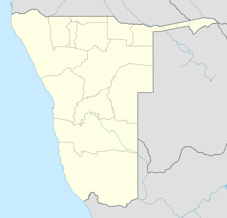 OND Location of airport in Namibia | |||||||||||
| Runways | |||||||||||
| |||||||||||

Air Namibia aircraft at Ondangwa
Ondangwa Airport (IATA: OND, ICAO: FYOA) is an airport serving Ondangwa,[2][3] a town in the Oshana Region of Namibia. The airport is about 5 km (3 mi) northwest of the center of Ondangwa.[5]
The Ondangwa non-directional beacon (Ident: OA) is located on the field.[6][7]
Airlines and destinations
Air Namibia operates daily the route Ondangwa to Eros Airport in Windhoek. The flight takes 45 minutes.[8]
| Airlines | Destinations |
|---|---|
| Air Namibia | Windhoek-Eros |
See also
 Aviation portal
 Namibia portal
- List of airports in Namibia
- Transport in Namibia
References
- ↑ Namibia Airports Company: Airport Information
- 1 2 "Ondangwa Airport". Namibia Airports Company, Ltd.
- 1 2 Airport information for FYOA from DAFIF (effective October 2006)
- ↑ Airport information for OND at Great Circle Mapper.
- ↑ "Distance from Ondangwa to airport". WikiMapia. Retrieved 18 Feb 2010.
- ↑ OA NDB
- ↑ Ondangwa NDB
- ↑ "Ondangwa airport will be closed for six weeks". New Era. 30 October 2015.
External links
- Current weather for FYOA at NOAA/NWS
- Accident history for OND at Aviation Safety Network
- OpenStreetMap - Ondangwa
- OurAirports - Ondangwa
This article is issued from Wikipedia - version of the 11/27/2016. The text is available under the Creative Commons Attribution/Share Alike but additional terms may apply for the media files.