Oshakati Airport
| Oshakati Airport | |||||||||||
|---|---|---|---|---|---|---|---|---|---|---|---|
| IATA: OHI – ICAO: FYOS | |||||||||||
| Summary | |||||||||||
| Airport type | Public | ||||||||||
| Serves | Oshakati | ||||||||||
| Elevation AMSL | 3,600 ft / 1,097 m | ||||||||||
| Coordinates | 17°47′50″S 15°42′00″E / 17.79722°S 15.70000°ECoordinates: 17°47′50″S 15°42′00″E / 17.79722°S 15.70000°E | ||||||||||
| Map | |||||||||||
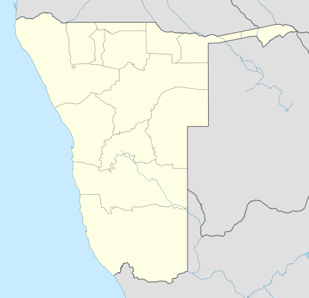 OHI Location of the airport in Namibia | |||||||||||
| Runways | |||||||||||
| |||||||||||
Oshakati Airport (IATA: OHI, ICAO: FYOS) is an airport serving Oshakati in the Oshana Region of Namibia.
See also
- Transport in Namibia
- List of airports in Namibia
 Namibia portal
 Aviation portal
References
- ↑ Airport information for OHI at Great Circle Mapper.
- ↑ Google Maps - Oshakati
External links
This article is issued from Wikipedia - version of the 12/5/2016. The text is available under the Creative Commons Attribution/Share Alike but additional terms may apply for the media files.