Pacheri
For garment see Dupatta
| Pacheri | |
|---|---|
| village | |
|
Pacheri Fort | |
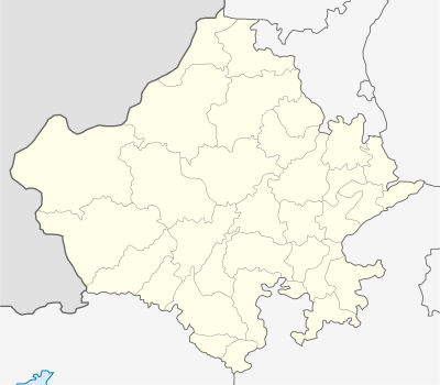 Pacheri  Pacheri Location in Rajasthan, India | |
| Coordinates: 28°09′00″N 75°56′00″E / 28.1500°N 75.9333°ECoordinates: 28°09′00″N 75°56′00″E / 28.1500°N 75.9333°E | |
| Country |
|
| State | Rajasthan |
| District | Jhunjhunu |
| Elevation | 958 m (3,143 ft) |
| Population (2008) | |
| • Total | 6,000 |
| Languages | |
| • Official | Hindi |
| Time zone | IST (UTC+5:30) |
Pacheri is a village in the state of Rajasthan, India. It is inhabited by over 6,000 residents.
Geography
Pacheri is located at 28°09′N 75°56′E / 28.15°N 75.93°E.[1] It has an average elevation of 291 metres (958 feet).
References
 Thakur Dhukal Singhji
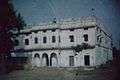 Fort Eastend
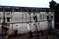 Fort Southend
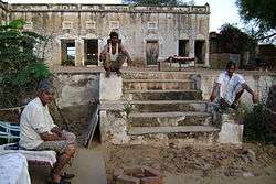
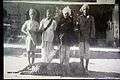 Villagers posing after a leopard hunt
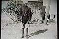
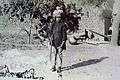 Sangram Singhji posing with his gun
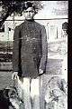 Sangram Singhji with his pets
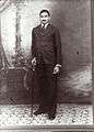 Portrait Sangram Singhji
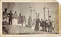 Pacheri Hunting Party Cira 1930
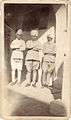 Pacheri Hunt
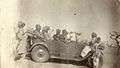 Pacheri Hunt
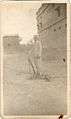 Pacheri Hunt
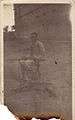 Pacheri Hunt
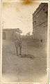 Pacheri Hunt
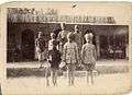 Pacheri Hunt
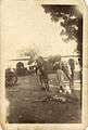 Pacheri Hunt
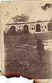 Sangram Singhji
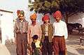 Sunil's Marriage - Birkali 1995 (Sangram Singhji's grandsons)
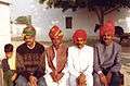 Sunil's Marriage - Birkali 1995 (Sangram Singhji's sons and grandson)
| Outline | 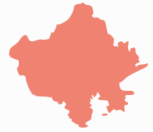 | ||||||||||||||||||||||||||
|---|---|---|---|---|---|---|---|---|---|---|---|---|---|---|---|---|---|---|---|---|---|---|---|---|---|---|---|
| Governance | |||||||||||||||||||||||||||
| Divisions and Districts |
| ||||||||||||||||||||||||||
| Major cities | |||||||||||||||||||||||||||
| Related templates |
| ||||||||||||||||||||||||||
This article is issued from Wikipedia - version of the 8/29/2016. The text is available under the Creative Commons Attribution/Share Alike but additional terms may apply for the media files.