Panapompom Islands
 Panapompom Island | |
| Geography | |
|---|---|
| Location | Oceania |
| Coordinates | 10°41′S 152°22′E / 10.683°S 152.367°ECoordinates: 10°41′S 152°22′E / 10.683°S 152.367°E[1] |
| Archipelago | Louisiade Archipelago |
| Adjacent bodies of water | Solomon Sea |
| Total islands | 1 |
| Major islands | |
| Area | 3.016 sq mi (7.81 km2) |
| Highest elevation | 213 m (699 ft) |
| Highest point | Mount Deboyne |
| Administration | |
| Province |
|
| District | Samarai-Murua District |
| LLG [2] | Louisiade Rural Local Level Government Area |
| Island Group | Deboyne Islands |
Largest settlement |
Nulia (population 200) |
| Demographics | |
| Demonym | Papuan people |
| Population | 600 (2014) |
| Pop. density | 198.964 /sq mi (76.8204 /km2) |
| Ethnic groups | Papauans, Austronesians, Melanesians. |
| Additional information | |
| Time zone | |
| Official website |
www |
| ISO Code = PG-MBA | |
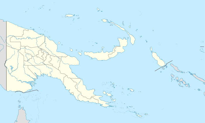
Panapompom Island is an island of Papua New Guinea. It is in the Deboyne Islands atoll of the Louisiade Archipelago.
References
This article is issued from Wikipedia - version of the 11/17/2016. The text is available under the Creative Commons Attribution/Share Alike but additional terms may apply for the media files.