Pata de Gallo Airport
| Pata De Gallo Airport | |||||||||||
|---|---|---|---|---|---|---|---|---|---|---|---|
| IATA: none – ICAO: SPGA | |||||||||||
| Summary | |||||||||||
| Airport type | Public | ||||||||||
| Serves | Quiruvilca | ||||||||||
| Elevation AMSL | 13,720 ft / 4,182 m | ||||||||||
| Coordinates | 7°59′00″S 78°16′00″W / 7.98333°S 78.26667°WCoordinates: 7°59′00″S 78°16′00″W / 7.98333°S 78.26667°W | ||||||||||
| Map | |||||||||||
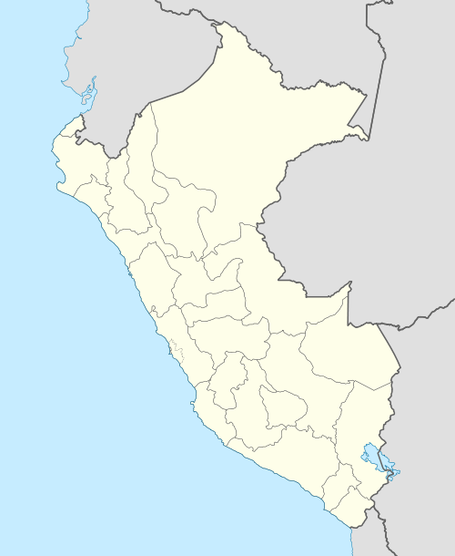 SPGA Location of the airport in Peru | |||||||||||
| Runways | |||||||||||
| |||||||||||
Pata De Gallo Airport (ICAO: SPGA) is a high-elevation airport serving the town of Quiruvilca in the La Libertad Region of Peru. The airport is on a ridge 4.6 kilometres (2.9 mi) east of the town.
The location of Quiruvilca Airport (ICAO: SPQR)[3][4] is 7.6 kilometres (4.7 mi) east of Pata De Gallo Airport, but aereal images[5] show no runway in the area.
See also
References
External links
This article is issued from Wikipedia - version of the 12/5/2016. The text is available under the Creative Commons Attribution/Share Alike but additional terms may apply for the media files.