Piplod
For the neighbourhood in Surat, see Piplod, Surat.
| Piplod | |
|---|---|
| Town | |
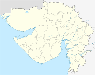 Piplod  Piplod Location in Gujarat, India | |
| Coordinates: 22°49′0″N 73°54′0″E / 22.81667°N 73.90000°ECoordinates: 22°49′0″N 73°54′0″E / 22.81667°N 73.90000°E | |
| Country |
|
| State | Gujarat |
| District | Dahod |
| Elevation | 183 m (600 ft) |
| Languages | |
| • Official | Gujarati, Hindi |
| Time zone | IST (UTC+5:30) |
| Vehicle registration | GJ |
| Website |
gujaratindia |
Piplod is a village turns town in Dahod district, Gujarat, India.
Geography
It is located at 22°49′0″N 73°54′0″E / 22.81667°N 73.90000°E at an elevation of 183 m (600 ft) from MSL.[1]
Location
Piplod is 32 km east of Godhra. Nearest airport is Sardar Vallabhbhai Patel International Airport at Ahmedabad. National Highway 59 passes through Piplod.
Places of interest
References
- ↑ http://www.fallingrain.com/world/IN/9/Piplod.html Map and weather of Piplod
External links
This article is issued from Wikipedia - version of the 10/3/2016. The text is available under the Creative Commons Attribution/Share Alike but additional terms may apply for the media files.