Pirawa
| Pirawa | |
|---|---|
| city | |
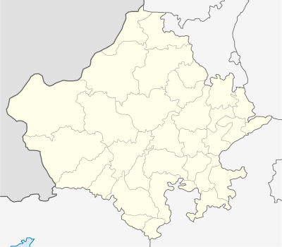 Pirawa  Pirawa Location in Rajasthan, India | |
| Coordinates: 24°10′N 76°02′E / 24.17°N 76.03°ECoordinates: 24°10′N 76°02′E / 24.17°N 76.03°E | |
| Country |
|
| State | Rajasthan |
| District | Jhalawar |
| Elevation | 370 m (1,210 ft) |
| Population (2001) | |
| • Total | 11,182 |
| Languages | |
| • Official | Hindi |
| Time zone | IST (UTC+5:30) |
| Vehicle registration | RJ |
Pirawa is a city and a municipality in Jhalawar district in the Indian state of Rajasthan.
Geography
Pirawa is located at 24°10′N 76°02′E / 24.17°N 76.03°E.[1] It has an average elevation of 370 metres (1213 feet).
Demographics
As of 2001 India census,[2] Pirawa had a population of 11,182. Males constitute 51% of the population and females 49%. Pirawa has an average literacy rate of 66%, higher than the national average of 59.5%: male literacy is 74%, and female literacy is 58%. In Pirawa, 16% of the population is under 6 years of age.
Computer institute
- Jai Mata Dee Computer Center Pirawa Rajsthan
Education
- Government Birla College, Bhawani mandi *Government College, pirawa ,Rajasthan ,India
Emitra Kiosk in Pirawa
Emitra Kiosk Pirawa,(K-35) Near Post Office, Pirawa
N.G.O.
- Zeal Educational & Welfare Society
- Secretary : Shahid Mohammad
References
- ↑ Falling Rain Genomics, Inc - Pirawa
- ↑ "Census of India 2001: Data from the 2001 Census, including cities, villages and towns (Provisional)". Census Commission of India. Archived from the original on 2004-06-16. Retrieved 2008-11-01.
This article is issued from Wikipedia - version of the 11/28/2016. The text is available under the Creative Commons Attribution/Share Alike but additional terms may apply for the media files.