Pitticow River
| Pitticow River | |
| Country | Canada |
|---|---|
| Province | Ontario |
| Region | Northwestern Ontario |
| District | Kenora District |
| Part of | Hudson Bay drainage basin |
| Source | Unnamed lake |
| - elevation | 126 m (413 ft) |
| - coordinates | 54°32′14″N 87°52′03″W / 54.53722°N 87.86750°W |
| Mouth | Fawn River |
| - elevation | 87 m (285 ft) |
| - coordinates | 54°52′58″N 87°45′58″W / 54.88278°N 87.76611°WCoordinates: 54°52′58″N 87°45′58″W / 54.88278°N 87.76611°W |
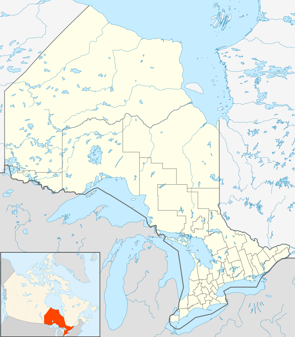 Location of the mouth of the Pitticow River in Ontario | |
The Pitticow River is a river in the north of the Unorganized Part of Kenora District in Northwestern Ontario, Canada.[1] It is in the Hudson Bay drainage basin and is a right tributary of the Fawn River. The Pitticow River can be used to cross between the Severn River/ Fawn River drainage basin to the Winisk River drainage basin, the next major basin to the east.[2]
References
- ↑ "Pitticow River". Geographical Names Data Base. Natural Resources Canada. Retrieved 2013-06-26.
- ↑ "Pitticow River – KI Paddlers Update – September 1". Kitchenuhmaykoosib Inninuwug Lands and Environment Unit. Retrieved 2013-06-26.
Other map sources:
- Map 19 (PDF) (Map). 1 : 1,600,000. Official road map of Ontario. Ministry of Transportation of Ontario. 2010-01-01. Retrieved 2013-06-26.
See also
This article is issued from Wikipedia - version of the 3/19/2016. The text is available under the Creative Commons Attribution/Share Alike but additional terms may apply for the media files.