Piz Beverin
| Piz Beverin | |
|---|---|
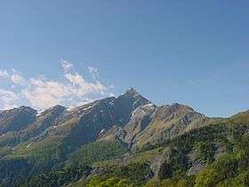 Piz Beverin seen from Heinzenberg | |
| Highest point | |
| Elevation | 2,998 m (9,836 ft) |
| Prominence | 396 m (1,299 ft) [1] |
| Parent peak | Bruschghorn |
| Coordinates | 46°39′8.9″N 9°21′28.4″E / 46.652472°N 9.357889°ECoordinates: 46°39′8.9″N 9°21′28.4″E / 46.652472°N 9.357889°E |
| Geography | |
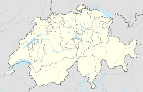 Piz Beverin Location in Switzerland | |
| Location | Graubünden, Switzerland |
| Parent range | Lepontine Alps |
Piz Beverin is a mountain of the Lepontine Alps, overlooking Thusis in the canton of Graubünden. A trail leads to the summit.
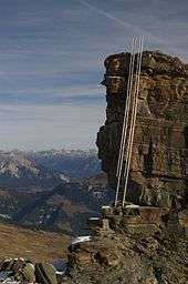
On the south-east ridge
References
External links
| Wikimedia Commons has media related to Piz Beverin. |
This article is issued from Wikipedia - version of the 5/8/2016. The text is available under the Creative Commons Attribution/Share Alike but additional terms may apply for the media files.