Plato, Magdalena
For other uses, see Plato (disambiguation).
| Plato | |||
|---|---|---|---|
| Town | |||
| |||
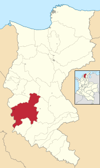 Location of the municipality and town of Plato in the Department of Magdalena. | |||
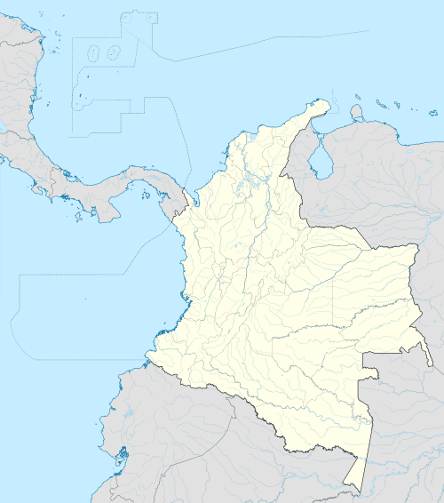 Plato Location of the municipality and town of Plato in the Department of Magdalena. | |||
| Coordinates: CO 9°47′31″N 74°47′14″W / 9.79194°N 74.78722°W | |||
| Country | Colombia | ||
| Region | Caribbean | ||
| Department | Magdalena | ||
| Founded | 1626 | ||
| Government | |||
| • Mayor | Jaime Peña Peñaranda | ||
| Area | |||
| • Town | 1,500.04 km2 (579.17 sq mi) | ||
| Elevation | 20 m (57 + 5 ft) | ||
| Population (2005) | |||
| • Town | 48,898 | ||
| • Density | 33/km2 (84/sq mi) | ||
| • Urban | 39,651 | ||
| [1] | |||
| Demonym(s) | Plateño | ||
| Website | Official website (Spanish) | ||
.svg.png)
.svg.png)
Plato is a town and municipality in Magdalena Department in Colombia.
- Area: 1,501 km².
- Elevation: 20 meters
- Population: 66,362
- Rural: 18,625
- Urban: 47,737
- Agricultural products: livestock, corn, beans, tomatoes, yuca, tobacco
Points of interest
- Alligator Man Park
- Statue of Bolivar
- Statue of the Virgin of Carmen
References
External links
- (Spanish)Plato official website
- (Spanish) Gobernacion del Magdalena - Plato
Coordinates: 9°47′31″N 74°47′14″W / 9.79194°N 74.78722°W
This article is issued from Wikipedia - version of the 11/26/2016. The text is available under the Creative Commons Attribution/Share Alike but additional terms may apply for the media files.