Pleasant Ridge Township, Barry County, Missouri
| Pleasant Ridge Township | |
|---|---|
| Township | |
 | |
| Coordinates: 36°54′01″N 093°47′19″W / 36.90028°N 93.78861°WCoordinates: 36°54′01″N 093°47′19″W / 36.90028°N 93.78861°W | |
| Country | United States |
| State | Missouri |
| County | Barry |
| Area | |
| • Total | 19.34 sq mi (50.08 km2) |
| • Land | 19.34 sq mi (50.08 km2) |
| • Water | 0 sq mi (0 km2) 0% |
| Elevation[1] | 1,480 ft (451 m) |
| Population (2000) | |
| • Total | 429 |
| • Density | 22.2/sq mi (8.6/km2) |
| FIPS code | 29-58484[2] |
| GNIS feature ID | 0766266 |
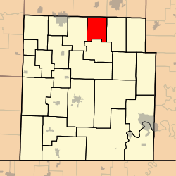
Pleasant Ridge Township is one of twenty-five townships in Barry County, Missouri, United States. As of the 2000 census, its population was 429.
Pleasant Ridge Township was organized in 1887 and named for a ridge within its borders.[3]
Geography
Pleasant Ridge Township covers an area of 19.34 square miles (50.1 km2) and contains no incorporated settlements. It contains one cemetery, Calton.
References
- ↑ "US Board on Geographic Names". United States Geological Survey. 2007-10-25. Retrieved 2008-01-31.
- ↑ "American FactFinder". United States Census Bureau. Retrieved 2008-01-31.
- ↑ "Barry County Place Names, 1928-1945 (archived)". The State Historical Society of Missouri. Retrieved 30 August 2016.
External links
Municipalities and communities of Barry County, Missouri, United States | ||
|---|---|---|
| Cities | 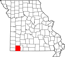 | |
| Villages | ||
| Townships | ||
| CDPs | ||
| Unincorporated communities | ||
| Ghost towns | ||
| Footnotes | ‡This populated place also has portions in an adjacent county or counties | |
This article is issued from Wikipedia - version of the 9/3/2016. The text is available under the Creative Commons Attribution/Share Alike but additional terms may apply for the media files.