Poplar Creek, Mississippi
| Poplar Creek | |
|---|---|
| Unincorporated community | |
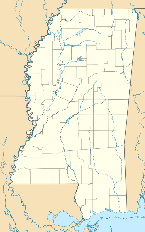 Poplar Creek Poplar Creek's position in Mississippi. | |
| Coordinates: 33°21′07″N 89°33′20″W / 33.35194°N 89.55556°WCoordinates: 33°21′07″N 89°33′20″W / 33.35194°N 89.55556°W | |
| Country |
|
| State |
|
| County | Montgomery |
| Elevation | 100 m (400 ft) |
| Time zone | Central (CST) (UTC-6) |
| • Summer (DST) | CDT (UTC-5) |
| GNIS feature ID | 676219 |
| U.S. Geological Survey Geographic Names Information System: Poplar Creek, Mississippi | |
Poplar Creek (also recorded as Polar Creek) is an unincorporated community in Montgomery County, Mississippi.[1] On April 27, 2011, a tornado hit the Poplar Creek area as part of the April 25–28, 2011 tornado outbreak, causing heavy tree and power line damage.[2] The tornado was classified as an EF-2, with estimated wind speeds of 125 mph (201 km/h; 109 kn).[3] The path of destruction was 1 mile (1.6 km) wide and the tornado travelled a path of 11.5 miles (18.5 km).[3]
References
- ↑ "Feature Detail Report for: Poplar Creek, Mississippi." USGS. U.S. Geological Survey Geographic Names Information System: Poplar Creek, Mississippi Retrieved May 2, 2011.
- ↑ NOAA Report
- 1 2 NOAA Jackson Report
Municipalities and communities of Montgomery County, Mississippi, United States | ||
|---|---|---|
| City | 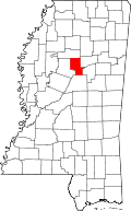 | |
| Towns | ||
| Unincorporated communities | ||
| Ghost town | ||
This article is issued from Wikipedia - version of the 2/17/2014. The text is available under the Creative Commons Attribution/Share Alike but additional terms may apply for the media files.