Qalat Airport
| Qalat Airport | |||||||||||
|---|---|---|---|---|---|---|---|---|---|---|---|
| IATA: none – ICAO: OAQA | |||||||||||
| Summary | |||||||||||
| Airport type | Military | ||||||||||
| Serves | Qalat | ||||||||||
| Location |
| ||||||||||
| Elevation AMSL | 5,383 ft / 1,641 m | ||||||||||
| Coordinates | 32°08′02″N 066°53′56″E / 32.13389°N 66.89889°ECoordinates: 32°08′02″N 066°53′56″E / 32.13389°N 66.89889°E | ||||||||||
| Map | |||||||||||
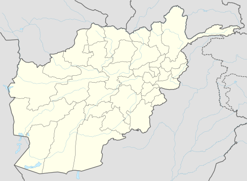 OAQA Location of Qalat Airport in Afghanistan | |||||||||||
| Runways | |||||||||||
| |||||||||||
|
Sources: AIP Afghanistan[1] | |||||||||||
Qalat Airport (ICAO: OAQA) is a military airport under the control of Marine Expeditionary Brigade, located 2 miles north west of the town of Qalat, Afghanistan.
See also
References
This article is issued from Wikipedia - version of the 5/10/2016. The text is available under the Creative Commons Attribution/Share Alike but additional terms may apply for the media files.