Requena Airport
| Requena Airport | |||||||||||
|---|---|---|---|---|---|---|---|---|---|---|---|
| IATA: none – ICAO: SPQN | |||||||||||
| Summary | |||||||||||
| Airport type | Public | ||||||||||
| Serves | Requena | ||||||||||
| Elevation AMSL | 394 ft / 120 m | ||||||||||
| Coordinates | 5°04′35″S 73°51′25″W / 5.07639°S 73.85694°WCoordinates: 5°04′35″S 73°51′25″W / 5.07639°S 73.85694°W | ||||||||||
| Map | |||||||||||
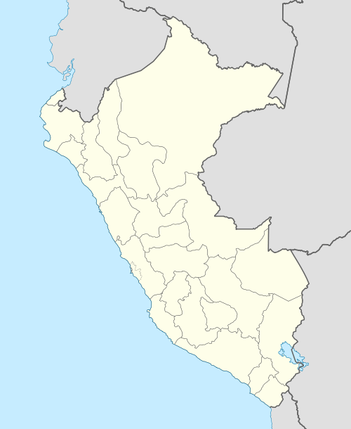 SPQN Location of the airport in Peru | |||||||||||
| Runways | |||||||||||
| |||||||||||
Requena (IATA: REQ, ICAO: SPQN) is an airstrip serving the river town of Requena in the Loreto Region of Peru. The runway also serves as a street, and is lined with houses on its west side.
See also
References
- ↑ Airport information for SPQN at Great Circle Mapper.
- ↑ Google Maps - Requena
External links
This article is issued from Wikipedia - version of the 12/5/2016. The text is available under the Creative Commons Attribution/Share Alike but additional terms may apply for the media files.