Rhederbrug
| Rhederbrug | |
|---|---|
| Hamlet | |
|
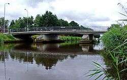
Rheder Bridge in 2008 | |
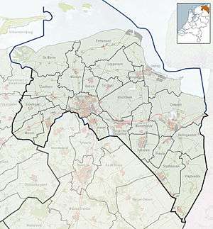 Rhederbrug Location of Rhederbrug in the province of Groningen | |
| Coordinates: 53°5′20″N 7°10′5″E / 53.08889°N 7.16806°ECoordinates: 53°5′20″N 7°10′5″E / 53.08889°N 7.16806°E | |
| Country | Netherlands |
| Province | Groningen |
| Municipality | Bellingwedde |
| Village | Bellingwolde |
| Area (2012)[1] | |
| • Total | 197 ha (487 acres) |
| • Land | 196 ha (484 acres) |
| • Water | 1 ha (2 acres) |
| Population (2012)[1] | |
| • Total | 135 |
| • Density | 69/km2 (180/sq mi) |
| Area code | 0597 |
Rhederbrug (Dutch pronunciation: [ˌreːdərˈbrɵx]; English: Rhede's Bridge) is a hamlet near Bellingwolde in the municipality of Bellingwedde in the Netherlands. It has a population of 135 and a total area of 197 ha (490 acres).[1]
References
- 1 2 3 (Dutch) Kerncijfers wijken en buurten 2009-2012, Statistics Netherlands, 2014. Retrieved on 27 April 2014.
External links
-
 Media related to Rhederbrug at Wikimedia Commons
This article is issued from Wikipedia - version of the 6/23/2016. The text is available under the Creative Commons Attribution/Share Alike but additional terms may apply for the media files.