Rotenboden
For the railway station in Switzerland, see Rotenboden railway station.
| Rotenboden | |
|---|---|
| Village | |
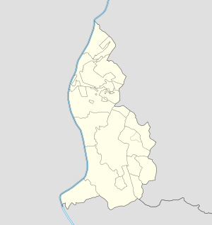 Rotenboden Locator map of Rotenboden in Liechtenstein | |
| Coordinates: 47°07′45″N 9°32′20″E / 47.12917°N 9.53889°ECoordinates: 47°07′45″N 9°32′20″E / 47.12917°N 9.53889°E | |
| Country |
|
| Electoral district |
|
| Municipality |
|
| Elevation | 850 m (2,790 ft) |
| Time zone | CET (UTC+1) |
| • Summer (DST) | CEST (UTC+2) |
| Postal code | 9497 |
| Area code(s) | (+423) ... |
Rotenboden (also spelled Rotaboda)[1] is a village of Liechtenstein, located in the municipality of Triesenberg
Geography
It is a mountain village that lies above Vaduz and Triesen, in the center of the country to the north of Triesenberg.[2]
References
- ↑ Source: geographic.org
- ↑ 935278226 Rotenboden on OpenStreetMap
Villages of Liechtenstein (hamlets of the 11 municipalities) | |||
|---|---|---|---|
This article is issued from Wikipedia - version of the 10/9/2016. The text is available under the Creative Commons Attribution/Share Alike but additional terms may apply for the media files.