Prince Edward Island Route 4
| ||||
|---|---|---|---|---|
| The Seven Mile Road | ||||
|
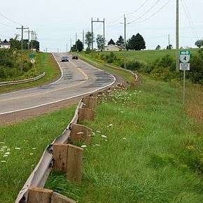
Route 4 near Cardigan | ||||
| Route information | ||||
| Maintained by Transportation and Public Works | ||||
| Length: | 64.9 km[1] (40.3 mi) | |||
| Major junctions | ||||
| South end: |
| |||
|
| ||||
| North end: |
| |||
| Location | ||||
| Counties: | Kings, Queens | |||
| Highway system | ||||
|
Provincial highways in Prince Edward Island
| ||||

Route 4 is a 63 km (39 mi) long, two-lane uncontrolled access secondary highway in eastern Prince Edward Island, Canada. Its maximum speed limit is 90 km/h (56 mph).
The highway passes by:
- Route 1 intersection in Wood Islands
- Murray River
- Montague
- Route 3 intersection in Poole's Corner
- Cardigan and Route 5
- Route 2 intersection in Dingwells Mills
References
- ↑ Google Maps (Map). Google. Retrieved September 9, 2016.
This article is issued from Wikipedia - version of the 10/22/2016. The text is available under the Creative Commons Attribution/Share Alike but additional terms may apply for the media files.