Rudne
Coordinates: 49°50′24″N 23°52′30″E / 49.84000°N 23.87500°E
| Rudne Рудне Rudno | |||
|---|---|---|---|
| Urban type settlement | |||
| |||
 Rudne | |||
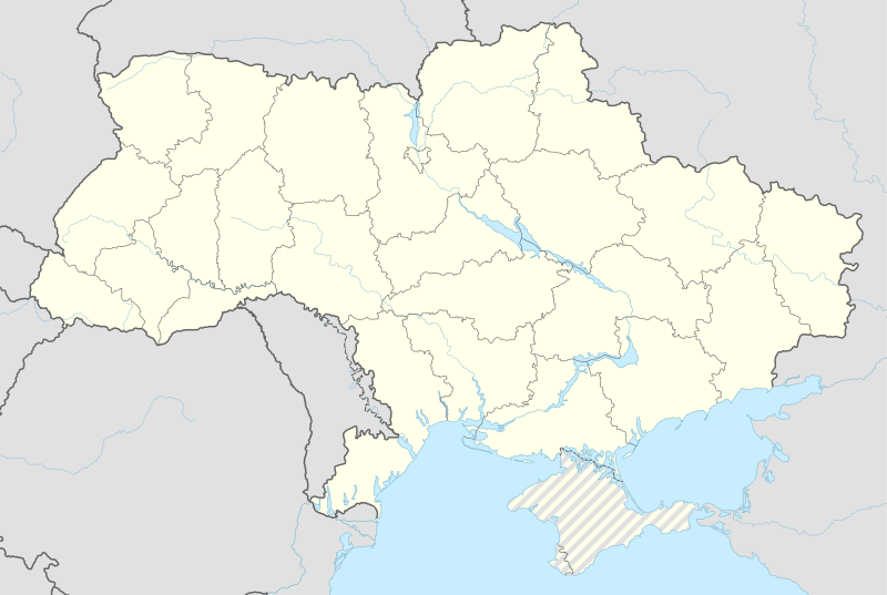
| Coordinates: UA 49°59′24″N 23°52′30″E / 49.99000°N 23.87500°E | |||
| Country |
| ||
| Oblast |
| ||
| Municipality | Lviv Municipality | ||
| Area | |||
| • Total | 4.19 km2 (1.62 sq mi) | ||
| Population (2016) | |||
| • Total | 7,030 | ||
| • Density | 1,700/km2 (4,300/sq mi) | ||
| Area code(s) | (+380) 32 | ||

Rudne (Ukrainian: Рудне; Polish: Rudno) is an Urban-type settlement in Lviv Municipality in Lviv Oblast. Its population was 7,030 (2016 est.)[1].
Location
Rudne is located 11 kilometers west of the Lviv city center. The Lviv Ring Road is 1 kilometer from the village. The Lviv-Mostyska Road passes throug the village.
History
Between 1774 and 1918 it was part of Austrian Galicia. After the end of World War I Briukhovychi became part of Lwów Powiat in Lwów Voivodeship, part of Poland. In 1939 it was annexed by the Soviet Union. It was given the status of an urban-type settlement in 1940.
Briukhovychi was occupied by German troops during World War II from 1941 to 1944.
References
- ↑ "Чисельність наявного населення України (Actual population of Ukraine)" (PDF) (in Ukrainian). State Statistics Service of Ukraine. Retrieved 19 July 2016.
This article is issued from Wikipedia - version of the 9/20/2016. The text is available under the Creative Commons Attribution/Share Alike but additional terms may apply for the media files.