Sông Công
This article is about the town. For the river, see Công River.
| Sông Công Thành phố Sông Công | |
|---|---|
| Urban district | |
|
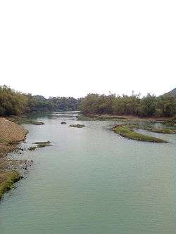
Công River in Sông Công city | |
 Sông Công | |
| Coordinates: VN 21°29′14″N 105°48′47″E / 21.48722°N 105.81306°E | |
| Country |
|
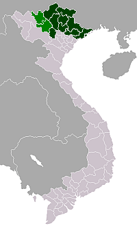
| Region | north-east |
| Province | Thái Nguyên |
| Established city | 15 May 2015 |
| Area | |
| • Total | 37.98 sq mi (98.37 km2) |
| Population (2015) | |
| • Total | 109,409 |
| • Density | 2,881/sq mi (1,112.2/km2) |
| Time zone | Indochina Time (UTC+07:00) |
Sông Công is a district-level city (thành phố) of Thái Nguyên Province in the north-east region of Vietnam. As of 2008 the district had a population of 49,983. The district covers an area of 83,64 km².
Geography
The Công River flows through the town. Sông Công itself means "Cong River".
Administrative divisions
- Wards (phường): Bách Quang, Cải Đan, Lương Châu, Mỏ Chè, Phố Cò, Thắng Lợi, Lương Sơn.
- Communes (xã): Bá Xuyên, Bình Sơn, Tân Quang,
References
This article is issued from Wikipedia - version of the 9/24/2016. The text is available under the Creative Commons Attribution/Share Alike but additional terms may apply for the media files.