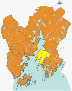
Søm
| District Søm | ||
|---|---|---|
| Borough | ||
|
| ||
| ||
 | ||
| Country | Norway | |
| City | Kristiansand | |
| Borough | Oddernes | |
| Population (2014) | ||
| • Total | 9,000 | |
| Time zone | CET (UTC+1) | |
| • Summer (DST) | CEST (UTC+2) | |
| ISO 3166 code | NO-030112 | |
| Website | kristiansand.kommune.no | |

Søm is a district in Kristiansand, Norway with a population of 9,500 (2013). It is the third largest district and is a part of the Oddernes borough. Søm has borders with Hånes to the North, Randesund to the South, Lillesand to the East and has the ocean to the West. Søm is the second richest district in Kristiansand after Lund.[1]
Neighbourhoods
- Bliksheia
- Elgstien
- Fuglevika
- Gudbranslia
- Haumyrheia
- Kjelleviktoppen
- Knarreviktoppen
- Korsvik vest
- Korsvik øst
- Liane
- Nordlia
- Rona
- Strømme
- Strømsdalen
- Søm
- Søm øst
- Sømslia
- Torsvik
- Vardåsen
Transportation
| Line | Destination [2] |
|---|---|
| M3 | Søm - Slettheia |
| A3 | Søm - Kvadraturen |
| N3 | Søm - Slettheia |
| 08 | Rona - Randesund |
| 17 | Tømmerstø - Hellemyr |
| 17 | Tømmerstø-Frikstad - Hellemyr |
| N17 | Tømmerstø - Kvadraturen |
| 18 | Tømmerstø Odderhei-Holte - Hellemyr |
| 18 | Dvergsnes - Hellemyr |
| A18 | Tømmerstø Odderhei-Holte - E.g.-Sykehuset |
| N17 | Tømmerstø - Kvadraturen |
| 139 | Høvåg-Lillesand - Kristiansand |
| 266 | Søm - Kristiansand Cathedral School |
Photos
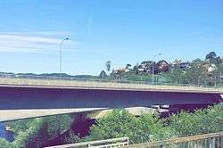 North of Søm seen from Varodd Bridge
 Nordlia
 Rona senter
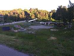 Strømsdalen
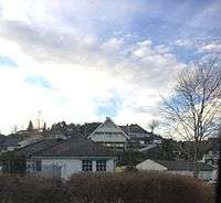 Gudbrandslia
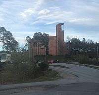 Søm Church
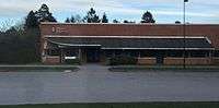 Østbyen Dagsenter, Strømme
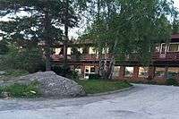 Doctor clinic at Søm
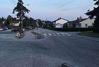 Vardåsveien
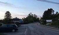 Torsvikkleiva
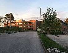 Haumyrheia Junior High
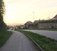 Rødhettes vei
References
- ↑ "Befolkning i Kristiansand". ssb.no. Retrieved 2014. Check date values in:
|access-date=(help) - ↑ "AKT".
Coordinates: 58°09′N 8°04′E / 58.15°N 8.06°E
This article is issued from Wikipedia - version of the 5/21/2016. The text is available under the Creative Commons Attribution/Share Alike but additional terms may apply for the media files.