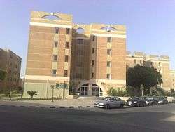
Sadat (city)
Coordinates: 30°22′52″N 30°31′36″E / 30.3811°N 30.5266°E
| Sadat السادات | |||
|---|---|---|---|
| City | |||
 | |||
| |||
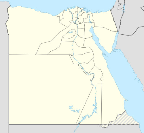 Sadat Location in Egypt | |||
| Coordinates: 30°22′52″N 30°31′36″E / 30.3811°N 30.5266°E | |||
| Country |
| ||
| Governorate | Monufia | ||
| Established | 1976 | ||
| Area | |||
| • Total | 241 sq mi (625 km2) | ||
| Population (2010) | |||
| • Total | 79,000 | ||
| Time zone | EST (UTC+2) | ||
| Area code(s) | +2 048 | ||


Sadat (Arabic: السادات El Sādāt Egyptian Arabic pronunciation: [essæˈdæːt]) is a city in the Monufia Governorate, Egypt. It is named after late president Anwar Sadat. The city is located 94 kilometres (58 mi) north-west of Cairo. It is a first generation new urban community and one of the largest industrial cities in the country.
The city is surrounded by a 350 km2 green belt, which has earned it a place in the top ten list of environmentally friendly industrial cities in the Middle East.[1]
.jpg)
The city's green belt as seen from the Shibin El Kom-Sadat Road.
Climate
See also: Climate of Egypt
Köppen-Geiger climate classification system classifies its climate as hot desert (BWh).
| Climate data for Sadat | |||||||||||||
|---|---|---|---|---|---|---|---|---|---|---|---|---|---|
| Month | Jan | Feb | Mar | Apr | May | Jun | Jul | Aug | Sep | Oct | Nov | Dec | Year |
| Average high °C (°F) | 19.5 (67.1) |
20.7 (69.3) |
23.7 (74.7) |
27.6 (81.7) |
32.3 (90.1) |
34 (93) |
34.3 (93.7) |
34.4 (93.9) |
32.3 (90.1) |
29.8 (85.6) |
25.1 (77.2) |
20.5 (68.9) |
27.85 (82.11) |
| Daily mean °C (°F) | 13.2 (55.8) |
14.2 (57.6) |
16.7 (62.1) |
19.7 (67.5) |
24.4 (75.9) |
26.4 (79.5) |
27.3 (81.1) |
27.4 (81.3) |
25.6 (78.1) |
22.8 (73) |
18.8 (65.8) |
14.3 (57.7) |
20.9 (69.62) |
| Average low °C (°F) | 7 (45) |
7.7 (45.9) |
9.7 (49.5) |
11.9 (53.4) |
16.5 (61.7) |
18.9 (66) |
20.4 (68.7) |
20.4 (68.7) |
18.9 (66) |
15.9 (60.6) |
12.5 (54.5) |
8.2 (46.8) |
14 (57.23) |
| Average precipitation mm (inches) | 5 (0.2) |
6 (0.24) |
2 (0.08) |
2 (0.08) |
2 (0.08) |
0 (0) |
0 (0) |
0 (0) |
0 (0) |
2 (0.08) |
10 (0.39) |
11 (0.43) |
40 (1.58) |
| Source: climate-data.org[2] | |||||||||||||
See also
References
- ↑ "Sadat City". sadat-city.com. Archived from the original on October 29, 2010. Retrieved 2011-01-18.
- ↑ "Climate: Madinat al Sadat - Climate graph, Temperature graph, Climate table". climate-data.org. Retrieved 13 August 2013.
| Wikimedia Commons has media related to Sadat City. |
This article is issued from Wikipedia - version of the 11/28/2016. The text is available under the Creative Commons Attribution/Share Alike but additional terms may apply for the media files.