Salem, Cornwall
| Salem | |
 Salem |
|
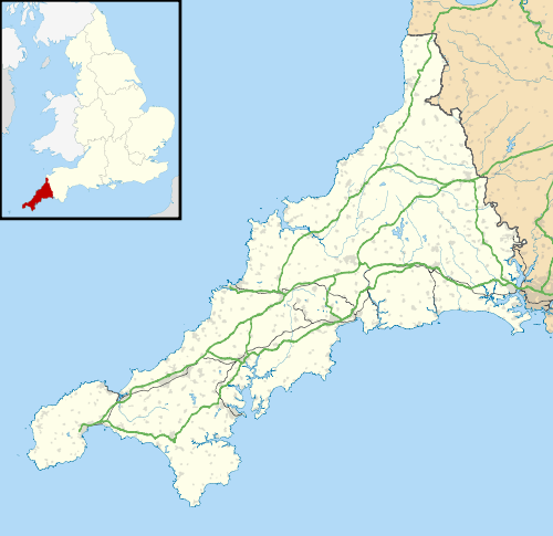
| OS grid reference | SW740442 |
|---|---|
| Unitary authority | Cornwall |
| Ceremonial county | Cornwall |
| Region | South West |
| Country | England |
| Sovereign state | United Kingdom |
| EU Parliament | South West England |
Coordinates: 50°15′14″N 5°10′19″W / 50.254°N 5.172°W
Salem is a hamlet west of Chacewater, Cornwall, England.[1]
References
- ↑ Ordnance Survey One-inch Map of Great Britain; Truro and Falmouth, sheet 190. 1961
Cornwall Portal | |
| Unitary authorities | |
| Major settlements |
|
| Rivers | |
| Topics | |
This article is issued from Wikipedia - version of the 3/3/2016. The text is available under the Creative Commons Attribution/Share Alike but additional terms may apply for the media files.