San Carlos Gutierrez Airport
| San Carlos Gutierrez Airport Aeropuerto San Carlos Gutierrez | |||||||||||
|---|---|---|---|---|---|---|---|---|---|---|---|
| IATA: none – ICAO: SLSD | |||||||||||
| Summary | |||||||||||
| Airport type | Public | ||||||||||
| Serves | San Carlos Gutierrez | ||||||||||
| Location |
| ||||||||||
| Elevation AMSL | 1,820 ft / 555 m | ||||||||||
| Coordinates | 14°33′37.5″S 065°31′41.4″W / 14.560417°S 65.528167°WCoordinates: 14°33′37.5″S 065°31′41.4″W / 14.560417°S 65.528167°W | ||||||||||
| Map | |||||||||||
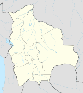 SLSD Location of San Carlos Gutierrez Airport in Bolivia | |||||||||||
| Runways | |||||||||||
| |||||||||||
San Carlos Gutierrez Airport (Spanish: Aeropuerto San Carlos Gutierrez, ICAO: SLSD) is a public use airport located near San Carlos Gutierrez, Beni, Bolivia.
See also
References
- ↑ Airport record for San Carlos Gutierrez Airport at Landings.com. Retrieved 2013-09-02
- ↑ Google (2013-09-02). "location of San Carlos Gutierrez Airport" (Map). Google Maps. Google. Retrieved 2013-09-02.
External links
- Airport record for San Carlos Gutierrez Airport at Landings.com
This article is issued from Wikipedia - version of the 11/10/2016. The text is available under the Creative Commons Attribution/Share Alike but additional terms may apply for the media files.