Schotsche Kloof, Cape Town
| Schotsche Kloof | |
|---|---|
 Schotsche Kloof  Schotsche Kloof  Schotsche Kloof
| |
|
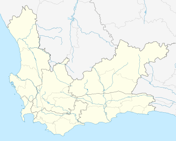
Location within Cape Town 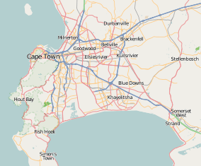 Schotsche Kloof | |
| Coordinates: 33°55′13″S 18°24′39″E / 33.92028°S 18.41083°ECoordinates: 33°55′13″S 18°24′39″E / 33.92028°S 18.41083°E | |
| Country | South Africa |
| Province | Western Cape |
| Municipality | City of Cape Town |
| Main Place | Cape Town |
| Area[1] | |
| • Total | 0.95 km2 (0.37 sq mi) |
| Population (2011)[1] | |
| • Total | 3,203 |
| • Density | 3,400/km2 (8,700/sq mi) |
| Racial makeup (2011)[1] | |
| • Black African | 9.0% |
| • Coloured | 66.0% |
| • Indian/Asian | 3.4% |
| • White | 4.3% |
| • Other | 17.3% |
| First languages (2011)[1] | |
| • English | 64.0% |
| • Afrikaans | 30.3% |
| • Other | 5.7% |
| Postal code (street) | 8001 |
Schotsche Kloof is a neighborhood in the City Bowl of Cape Town, South Africa.
Geography
Schotsche Kloof is situated just above Bo-Kaap at the foot of Signal Hill and together with Bo-Kaap it forms the Malay Quarter. Bordered by Bo-Kaap to the south east and Tamboerskloof to the south west.
References
- 1 2 3 4 "Sub Place Schotsche Kloof". Census 2011.
.svg.png)
This article is issued from Wikipedia - version of the 10/2/2016. The text is available under the Creative Commons Attribution/Share Alike but additional terms may apply for the media files.