Serra Monte Cristo
| Serra Monte Cristo | |
|---|---|
| Highest point | |
| Peak | Unnamed location |
| Elevation | 1,118 m (3,668 ft) |
| Coordinates | 16°04′00″S 59°28′00″W / 16.06667°S 59.46667°WCoordinates: 16°04′00″S 59°28′00″W / 16.06667°S 59.46667°W |
| Geography | |
| Country | Brazil |
| Borders on | Serra Monte Cristo |
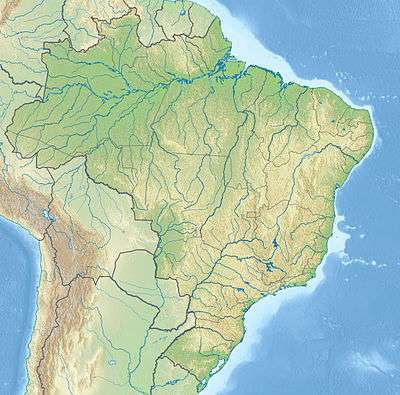
Location in Brazil
Serra Monte Cristo is a Brazilian mountain range located within the state of Mato Grosso. The state's highest point is located there, measuring 1,118 meters (3,668 feet).[1]
The range is protected by the 120,092 hectares (296,750 acres) Serra de Santa Bárbara State Park, created in 1997.[2]
References
- ↑ Serra Monte Cristo at Peakbagger.com
- ↑ PES Serra de Santa Bárbara (in Portuguese), ISA: Instituto Socioambiental, retrieved 2016-08-04
This article is issued from Wikipedia - version of the 8/4/2016. The text is available under the Creative Commons Attribution/Share Alike but additional terms may apply for the media files.