Sheet Harbour 36
| Sheet Harbour 36 | |
|---|---|
| Indian Reserve | |
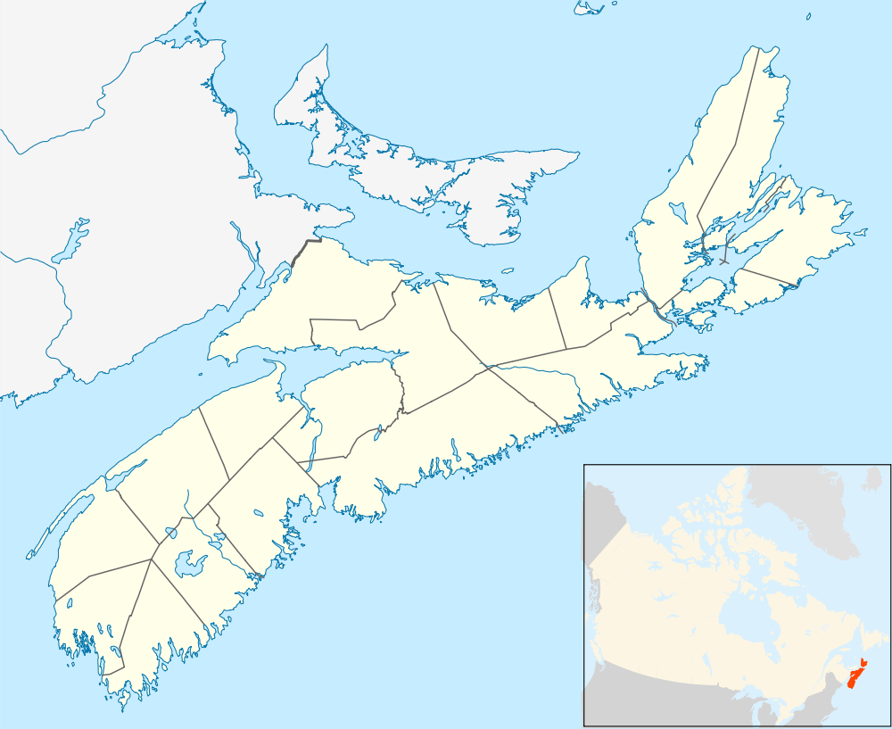 Sheet Harbour 36 Location within Nova Scotia | |
| Coordinates: 44°55′N 62°32′W / 44.917°N 62.533°WCoordinates: 44°55′N 62°32′W / 44.917°N 62.533°W | |
| Country |
|
| Province |
|
| Municipality | Halifax Regional Municipality |
| Area | |
| • Total | 0.48 km2 (0.19 sq mi) |
| Population (2011) | |
| • Total | 15 |
| • Density | 31.1/km2 (81/sq mi) |
| Time zone | AST (UTC-4) |
| • Summer (DST) | ADT (UTC-3) |
| Canadian Postal code | B0J 3B0 |
| Telephone Exchange | 902 885 |
| Part of a series about Places in Nova Scotia | |
Sheet Harbour 36 is a Mi'kmaq reserve located in Halifax County, Nova Scotia.
Sheet Harbour 36 is located just west of Sheet Harbour. It is adjacent to West Sheet Harbour. The land area also includes a tract of land directly across the harbour, in the downtown area of Sheet Harbour.[1] Grand Lake borders Sheet Harbour 36 on its western side.
It is administratively part of the Millbrook First Nation.
References
This article is issued from Wikipedia - version of the 11/22/2016. The text is available under the Creative Commons Attribution/Share Alike but additional terms may apply for the media files.