Shields' Mill Covered Bridge
|
Shields' Mill Covered Bridge | |
|
Shieldstown Covered Bridge, December 2015 | |
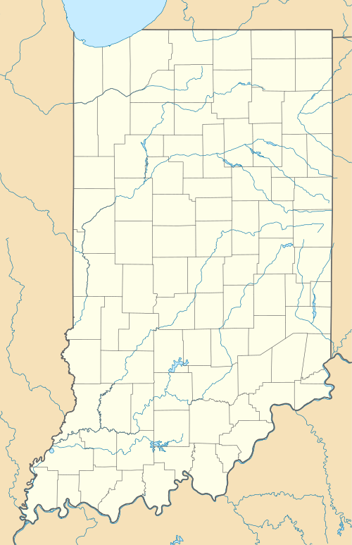  | |
| Location | Shields Rd. across the East Fork of the White River, Brownstown Township and Hamilton Township, Jackson County, Indiana |
|---|---|
| Coordinates | 40°54′47″N 87°09′35″W / 40.91306°N 87.15972°WCoordinates: 40°54′47″N 87°09′35″W / 40.91306°N 87.15972°W |
| Area | Less than 1 acre (0.40 ha) |
| Built | 1876 |
| Built by | Daniels, J.J.; Brown, Daniel Helper; Stanford, James |
| Architectural style | multiple kingpost Burr Arch Truss |
| NRHP Reference # | 16000330[1] |
| Added to NRHP | June 7, 2016 |
.jpg)
Shields' Mill Covered Bridge, also known as Shieldstown Covered Bridge, is a historic covered bridge located in Brownstown Township and Hamilton Township, Jackson County, Indiana. It spans the White River and is a multiple kingpost Burr Arch Truss bridge. It was built 1876, and is a two-span wooden bridge resting on cut limestone pier and abutments. It measures 365 feet, 6 inches, long. The bridge was closed to traffic in 1970.[2]:4–5
It was listed on the National Register of Historic Places in 2016.[1]
References
- 1 2 "National Register of Historic Places Listings". Weekly List of Actions Taken on Properties: 6/06/16 through 6/10/16. National Park Service. 2016-06-17.
- ↑ "Indiana State Historic Architectural and Archaeological Research Database (SHAARD)" (Searchable database). Department of Natural Resources, Division of Historic Preservation and Archaeology. Retrieved 2016-09-01. Note: This includes Fleeta Arthur (January 2016). "National Register of Historic Places Inventory Nomination Form: Shields' Mill Covered Bridge" (PDF). Retrieved 2016-09-01. and Accompanying photographs.
| Wikimedia Commons has media related to Shields' Mill Covered Bridge. |

This article is issued from Wikipedia - version of the 12/2/2016. The text is available under the Creative Commons Attribution/Share Alike but additional terms may apply for the media files.