Shudy Camps
| Shudy Camps | |
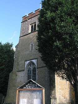 St Mary |
|
 Shudy Camps |
|
| Population | 338 (2011 Census) |
|---|---|
| OS grid reference | TL622417 |
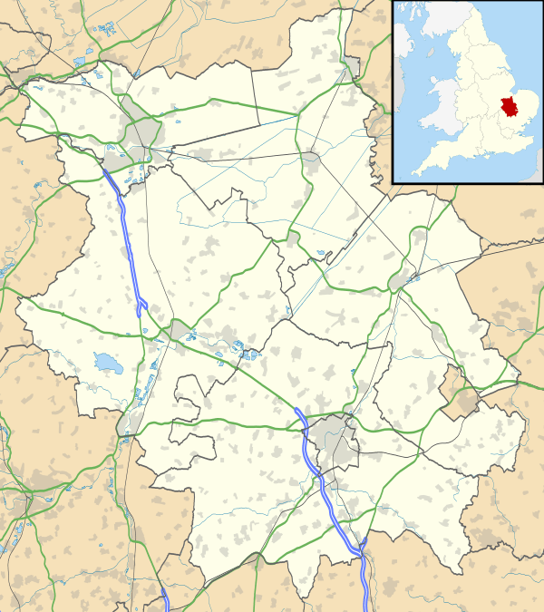
| Shire county | Cambridgeshire |
| Region | East |
| Country | England |
| Sovereign state | United Kingdom |
| Post town | Cambridge |
| Postcode district | CB21 |
| EU Parliament | East of England |
|
|
Coordinates: 52°03′N 0°22′E / 52.05°N 0.37°E
Shudy Camps is a village in Cambridgeshire, England. In 2001, according to the census, the population was 310,increasing to 338 at the 2011 Census.[1] The area of the village is 951 hectares (2,350 acres). It includes the nearby hamlet of Mill Green. The highest point in the parish is 383' ASL at Mill Green.[2]
External links
| Wikimedia Commons has media related to Shudy Camps. |
References
- ↑ "Civil Parish population 2011". Neighbourhood Statistics. Office for National Statistics. Retrieved 23 July 2016.
- ↑ Ordnance Survey 1" to the mile map 148 Saffron Walden 1968 edition.
This article is issued from Wikipedia - version of the 7/23/2016. The text is available under the Creative Commons Attribution/Share Alike but additional terms may apply for the media files.