Sikandara
| Sikandara Sikandra | |
|---|---|
| Town | |
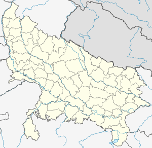 Sikandara  Sikandara Location in Uttar Pradesh, India | |
| Coordinates: 26°26′N 79°35′E / 26.44°N 79.59°ECoordinates: 26°26′N 79°35′E / 26.44°N 79.59°E | |
| Country |
|
| State | Uttar Pradesh |
| District | Kanpur Dehat |
| Town Area | 18/09/1997 |
| Government | |
| • Type | Local Govt. |
| • Body | Town Area |
| Elevation | 85 m (279 ft) |
| Population (2001) | |
| • Total | 245,437[1] |
| Languages | |
| • Official | Hindi |
| Time zone | IST (UTC+5:30) |
| PIN | 209125 |
| Vehicle registration | UP |
| Sex ratio | 53%M / 47%F ♂/♀ |
| Website |
up |
Sikandara It is a town in Kanpur Dehat districtin the Indian state of Uttar Pradesh .It is head quarter of tehsil Sikandara.[2]
Location
It is located on NH-2 about 80 km away from kanpur toward west and towards south from Jhinjhak at a distance 20 kilometer.Auraiya city is towards west from Sikandara and Pukhrayan town is towarad east.It is also a Sikandara legislature constituency.
History
It is said that this township was settled by Sikandar Lodi.[3]
Schools
- Saraswati Inter College
Geography
Sikandara is located at26°22′04″N 79°37′41″E / 26.36778°N 79.62806°E.[4] It has an average elevation of 85 metres (278 feet).
Demographics
As of 2001 India census,[5] Sikandara had a population of 10,884. Males constitute 53% of the population and females 47%. Sikandara has an average literacy rate of 58%, lower than the national average of 59.5%: male literacy is 64%, and female literacy is 51%. In Sikandara, 16% of the population is under 6 years of age.
References
- ↑ http://kanpurdehat.nic.in/tehsil/sikandara.htm
- ↑ http://kanpurdehat.nic.in/tehsil/sikandara.htm
- ↑ http://kanpurdehat.nic.in/tehsil/sikandara.htm
- ↑ Falling Rain Genomics, Inc - Sikandra
- ↑ "Census of India 2001: Data from the 2001 Census, including cities, villages and towns (Provisional)". Census Commission of India. Archived from the original on 2004-06-16. Retrieved 2008-11-01.