Simaluguri
| Simaluguri শিমলুগুৰি | |
|---|---|
| Town | |
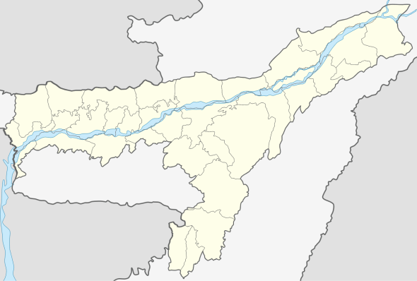 Simaluguri  Simaluguri Location in Assam, India | |
| Coordinates: 26°33′N 94°28′E / 26.55°N 94.46°ECoordinates: 26°33′N 94°28′E / 26.55°N 94.46°E | |
| Country |
|
| State | Assam |
| District | Sivasagar |
| Government | |
| • Body | Simaluguri Town Committee |
| Elevation[1] | 100 m (300 ft) |
| Languages | |
| • Official | Assamese |
| Time zone | IST (UTC+5:30) |
| PIN[1] | 785686[1] |
| ISO 3166 code | IN-AS |
| Vehicle registration | AS-04 |
| Nearest city | Sivasagar |
| Lok Sabha constituency | Jorhat |
| Vidhan Sabha constituency | Nazira |
Simaluguri (IPA: ˌʃɪmɑːlʊˈgʊərɪ or ˌsɪmɑːlʊˈgʊərɪ) is a town area in Sivasagar district in the state of Assam, India.The biggest railway station of Sivasagar lie in Simalguri.[1][2] The Dikhow river flow near it.
References
- 1 2 3 4 "SLGR/Simaluguri Junction (3 PFs) Railway Station Map/Atlas - India Rail Info". India Rail Info. Retrieved 2015-12-09.
- ↑ "Simaluguri Junction Railway Station Train Time table on Cleartrip.com | Trains passing through Simaluguri Junction Station". www.cleartrip.com. Retrieved 2015-12-09.
This article is issued from Wikipedia - version of the 10/21/2016. The text is available under the Creative Commons Attribution/Share Alike but additional terms may apply for the media files.