Snettisham Airport
| Snettisham Airport | |||||||||||||||
|---|---|---|---|---|---|---|---|---|---|---|---|---|---|---|---|
| IATA: none – ICAO: none – FAA LID: 7AK2 | |||||||||||||||
| Summary | |||||||||||||||
| Airport type | Private | ||||||||||||||
| Owner | Alaska Electric Light & Power | ||||||||||||||
| Location | Snettisham, Alaska | ||||||||||||||
| Elevation AMSL | 14 ft / 4 m | ||||||||||||||
| Coordinates | 58°08′03.825″N 133°43′46.25″W / 58.13439583°N 133.7295139°WCoordinates: 58°08′03.825″N 133°43′46.25″W / 58.13439583°N 133.7295139°W | ||||||||||||||
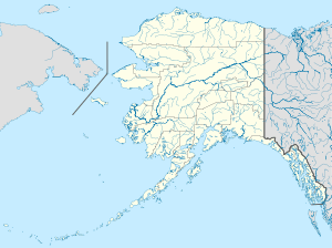
| Map | |||||||||||||||
 Snettisham Airport | |||||||||||||||
| Runways | |||||||||||||||
| |||||||||||||||
|
Sources: FAA[1] | |||||||||||||||
Snettisham Airport is a publicly owned, private-use aircraft facility near the Snettisham Hydroelectric Project in Snettisham, Alaska. It is managed by Alaska Electric Light & Power.
The name was collected by the United States Geological Survey from Federal Aviation Administration sources in 1994, and entered into the Geographic Names Information System on July 1, 1995.[2]
References
This article is issued from Wikipedia - version of the 4/28/2014. The text is available under the Creative Commons Attribution/Share Alike but additional terms may apply for the media files.