Soppe-le-Haut
| Soppe-le-Haut | ||
|---|---|---|
| ||
 Soppe-le-Haut | ||
|
Location within Grand Est region 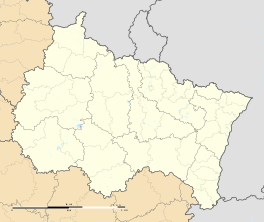 Soppe-le-Haut | ||
| Coordinates: 47°43′58″N 7°03′42″E / 47.7328°N 7.0617°ECoordinates: 47°43′58″N 7°03′42″E / 47.7328°N 7.0617°E | ||
| Country | France | |
| Region | Grand Est | |
| Department | Haut-Rhin | |
| Arrondissement | Thann-Guebwiller | |
| Canton | Masevaux | |
| Intercommunality | Vallée de la Doller et du Soultzbach | |
| Government | ||
| • Mayor (2008–2014) | Robert Kuenemann | |
| Area1 | 7.37 km2 (2.85 sq mi) | |
| Population (2006)2 | 594 | |
| • Density | 81/km2 (210/sq mi) | |
| Time zone | CET (UTC+1) | |
| • Summer (DST) | CEST (UTC+2) | |
| INSEE/Postal code | 68314 / 68780 | |
| Elevation |
317–403 m (1,040–1,322 ft) (avg. 335 m or 1,099 ft) | |
|
1 French Land Register data, which excludes lakes, ponds, glaciers > 1 km² (0.386 sq mi or 247 acres) and river estuaries. 2 Population without double counting: residents of multiple communes (e.g., students and military personnel) only counted once. | ||
.svg.png)
Soppe-le-Haut (German: Obersulzbach) is a former commune in the Haut-Rhin department in north-eastern France. On 1 January 2016, it was merged into the new commune Le Haut-Soultzbach.[1]
See also
References
| Wikimedia Commons has media related to Soppe-le-Haut. |
This article is issued from Wikipedia - version of the 11/19/2016. The text is available under the Creative Commons Attribution/Share Alike but additional terms may apply for the media files.