Soyo Airport
| Soyo Airport | |||||||||||
|---|---|---|---|---|---|---|---|---|---|---|---|
| IATA: SZA – ICAO: FNSO | |||||||||||
| Summary | |||||||||||
| Airport type | Public | ||||||||||
| Operator | Government | ||||||||||
| Serves | Soyo | ||||||||||
| Elevation AMSL | 15 ft / 5 m | ||||||||||
| Coordinates | 6°8′27.8″S 12°22′18.6″E / 6.141056°S 12.371833°ECoordinates: 6°8′27.8″S 12°22′18.6″E / 6.141056°S 12.371833°E | ||||||||||
| Map | |||||||||||
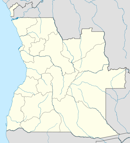 SZA Location of Airport in Angola | |||||||||||
| Runways | |||||||||||
| |||||||||||
Soyo Airport (IATA: SZA, ICAO: FNSO) is an airport serving Soyo, a city in Zaire Province in Angola.
The runway has an additional 150 metres (490 ft) displaced threshold on each end, for a total paved length of 2,122 metres (6,962 ft).
The Soyo non-directional beacon (Ident: SO)is located on the field.[5][6]
Airlines and destinations
| Airlines | Destinations |
|---|---|
| SonAir | Luanda |
| TAAG Angola Airlines | Luanda |
See also
 Angola portal
 Aviation portal
- List of airports in Angola
- Transport in Angola
References
- ↑ Airport information for FNSO at World Aero Data. Data current as of October 2006.
- ↑ Airport information for SZA at Great Circle Mapper.
- ↑ "FNSO @ aerobaticsweb.org". Landings.com. Retrieved 31 July 2013.
- ↑ Google Maps - Soyo
- ↑ Soyo NDB
- ↑ SkyVector Aeronautical Charts
External links
This article is issued from Wikipedia - version of the 11/27/2016. The text is available under the Creative Commons Attribution/Share Alike but additional terms may apply for the media files.