Saint-Léon-de-Standon, Quebec
| Saint-Léon-de-Standon | |
|---|---|
| Parish municipality | |
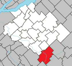 Location within Bellechasse RCM. | |
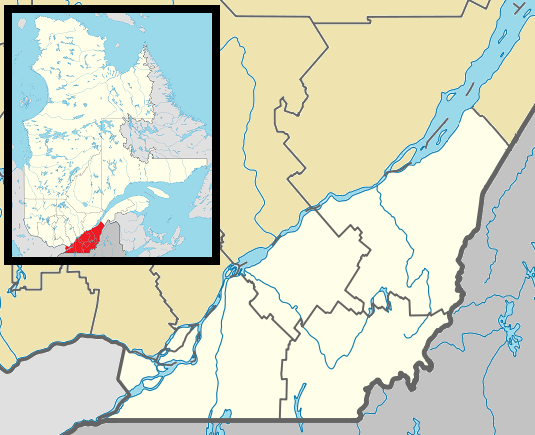 Saint-Léon-de-Standon Location in province of Quebec. | |
| Coordinates: 46°29′N 70°37′W / 46.483°N 70.617°WCoordinates: 46°29′N 70°37′W / 46.483°N 70.617°W[1] | |
| Country |
|
| Province |
|
| Region | Chaudière-Appalaches |
| RCM | Bellechasse |
| Constituted | January 1, 1874 |
| Government[2] | |
| • Mayor | Bernard Morin |
| • Fed. riding | Lévis—Bellechasse |
| • Prov. riding | Bellechasse |
| Area[2][3] | |
| • Total | 136.20 km2 (52.59 sq mi) |
| • Land | 137.06 km2 (52.92 sq mi) |
|
There is an apparent contradiction between two authoritative sources | |
| Population (2011)[3] | |
| • Total | 1,128 |
| • Density | 8.2/km2 (21/sq mi) |
| • Pop 2006-2011 |
|
| • Dwellings | 674 |
| Postal code(s) | G0R 4L0 |
| Area code(s) | 418 and 581 |
| Highways |
|
| Website |
www destandon |
Saint-Léon-de-Standon is a parish municipality of about 1,100 people in the Bellechasse Regional County Municipality in the Chaudière-Appalaches region of Quebec. The Etchemin River goes through the municipality.
See also
References
 |
Saint-Malachie | Saint-Nazaire-de-Dorchester | | |
| Frampton | |
Saint-Luc-de-Bellechasse | ||
| ||||
| | ||||
| Saint-Odilon-de-Cranbourne | Lac-Etchemin |
| Municipalities | |
|---|---|
| Parishes | |
| |
This article is issued from Wikipedia - version of the 1/13/2016. The text is available under the Creative Commons Attribution/Share Alike but additional terms may apply for the media files.