Stockton, Shropshire
| Stockton | |
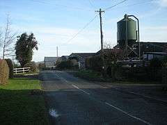 The road through Stockton, west Shropshire |
|
 Stockton |
|
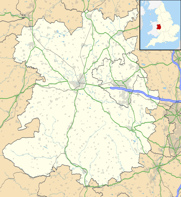
| OS grid reference | SJ265011 |
|---|---|
| Civil parish | Chirbury with Brompton |
| Unitary authority | Shropshire |
| Ceremonial county | Shropshire |
| Region | West Midlands |
| Country | England |
| Sovereign state | United Kingdom |
| Post town | WELSHPOOL |
| Postcode district | SY21 |
| Dialling code | 01938 |
| Police | West Mercia |
| Fire | Shropshire |
| Ambulance | West Midlands |
| EU Parliament | West Midlands |
| UK Parliament | Ludlow |
|
|
Coordinates: 52°36′11″N 3°05′06″W / 52.603°N 3.085°W
Stockton is a hamlet in Shropshire, England.
It forms part of the civil parish of Chirbury with Brompton and is just on the English side of the Wales-England border. The River Camlad flows to the south and there was once a mill (Stockton Mill). The elevation of the hamlet is 102 metres (335 ft) above sea level.[1]
References
- ↑ Ordnance Survey mapping
This article is issued from Wikipedia - version of the 1/24/2016. The text is available under the Creative Commons Attribution/Share Alike but additional terms may apply for the media files.