Stone in Oxney
| Stone in Oxney | |
 Stone in Oxney |
|
| Population | 392 (2001)[1] (Parish) |
|---|---|
| OS grid reference | TQ939278 |
| Civil parish | Stone-cum-Ebony |
| District | Ashford |
| Shire county | Kent |
| Region | South East |
| Country | England |
| Sovereign state | United Kingdom |
| Post town | TONBRIDGE |
| Postcode district | TN30 |
| Dialling code | 01233 |
| Police | Kent |
| Fire | Kent |
| Ambulance | South East Coast |
| EU Parliament | South East England |
| UK Parliament | Ashford |
Coordinates: 51°01′00″N 0°45′55″E / 51.0167°N 0.7654°E
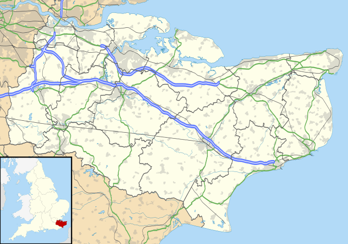
Stone in Oxney is a village south of Ashford in Kent, South East England, in the civil parish of Stone-cum-Ebony near Appledore.
The village is 11 miles (18 km) south east of Tenterden, and stands in a position on the eastern side of the Isle of Oxney. The stone that gives the village its name is preserved in the village church, and is of Roman origin.[2] Often thought to be an altar of Mithras, it in fact depicts Apis.[3]
The Saxon Shore Way, a long distance walking route tracing the old Saxon shoreline, passes through the parish.
References
| Wikimedia Commons has media related to Stone in Oxney. |
- ↑ Ashford Borough Council Census 2001
- ↑ Village Net
- ↑ The Roman cult of Mithras.
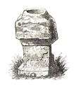 Roman Altar at Stone in the Isle of Oxney
 |
Reading Street Ebony |
Appledore Heath | Appledore | |
| Wittersham | |
Brenzett | ||
| ||||
| | ||||
| Peasmarsh | Houghton Green | Fairfield |
This article is issued from Wikipedia - version of the 9/9/2016. The text is available under the Creative Commons Attribution/Share Alike but additional terms may apply for the media files.