Sturgeon Falls 23
| Sturgeon Falls 23 | |
|---|---|
| Indian reserve | |
| Sturgeon Falls Indian Reserve No. 23 | |
 Sturgeon Falls 23 | |
| Coordinates: 48°45′N 92°21′W / 48.750°N 92.350°WCoordinates: 48°45′N 92°21′W / 48.750°N 92.350°W | |
| Country |
|
| Province |
|
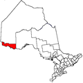
| District | Rainy River |
| First Nation | Seine River |
| Area[1] | |
| • Land | 24.89 km2 (9.61 sq mi) |
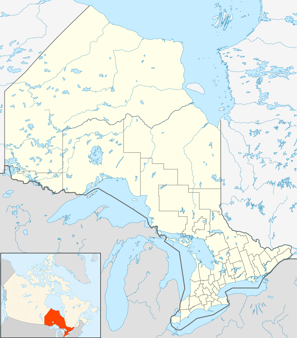
Sturgeon Falls 23 is a First Nations reserve[1] in Rainy River District, Ontario. It is one of the reserves of the Seine River First Nation.
References
External links
 |
Unorganized Rainy River | Unorganized Rainy River | | |
| |
Unorganized Rainy River | |||
| ||||
| | ||||
| Seine River 23A | Seine River Unorganized Rainy River |
This article is issued from Wikipedia - version of the 10/21/2016. The text is available under the Creative Commons Attribution/Share Alike but additional terms may apply for the media files.