Subalaya
| Subalaya Sublia | |
|---|---|
| town | |
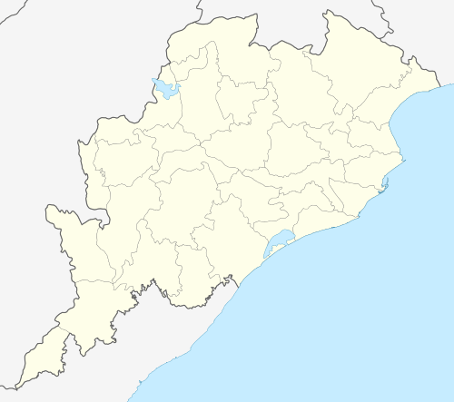 Subalaya  Subalaya Location in Odisha, India | |
| Coordinates: 20°53′N 84°10′E / 20.883°N 84.167°ECoordinates: 20°53′N 84°10′E / 20.883°N 84.167°E | |
| Country |
|
| State | Odisha |
| District | Subarnapur |
| Area | |
| • Total | 3.32950 km2 (1.28553 sq mi) |
| Languages | |
| • Official | Oriya |
| Time zone | IST (UTC+5:30) |
| Vehicle registration | OR- |
| Nearest city | Birmaharajpur, Rairakhol |
| Lok Sabha constituency | Balangir |
| Climate | Rainy, hot,cold (Köppen) |
| Avg. summer temperature | 45–50 °C (113–122 °F) |
| Avg. winter temperature | 20–25 °C (68–77 °F) |
| Website |
odisha |
Subalaya is a town in the Birmaharajpur subdivision of Subarnapur district, Odisha, India. It is an island 822.738 acres (3.32950 km2) in size[1] located at the meeting place of the Mahanadi river and Surubalijora.[2]
This town is home to Subalaya High School and Subalaya College. Recently "NISHTHA" a non-government organization along with smile foundation has established a school for providing remedial education to school-going children.[3]
References
External links
This article is issued from Wikipedia - version of the 9/30/2016. The text is available under the Creative Commons Attribution/Share Alike but additional terms may apply for the media files.