Swan Hill Airport
| Swan Hill Airport | |||||||||||||||||||
|---|---|---|---|---|---|---|---|---|---|---|---|---|---|---|---|---|---|---|---|
| IATA: SWH – ICAO: YSWH | |||||||||||||||||||
| Summary | |||||||||||||||||||
| Airport type | Public | ||||||||||||||||||
| Operator | Swan Hill Rural City Council | ||||||||||||||||||
| Location | Swan Hill, Victoria, Australia | ||||||||||||||||||
| Elevation AMSL | 234 ft / 71 m | ||||||||||||||||||
| Coordinates | 35°22′33″S 143°32′58″E / 35.37583°S 143.54944°ECoordinates: 35°22′33″S 143°32′58″E / 35.37583°S 143.54944°E | ||||||||||||||||||
| Map | |||||||||||||||||||
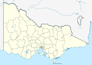 YSWH Location in Victoria | |||||||||||||||||||
| Runways | |||||||||||||||||||
| |||||||||||||||||||
Swan Hill Airport (IATA: SWH, ICAO: YSWH) is located 2.5 nautical miles (4.6 km; 2.9 mi) south[1] of Swan Hill, Victoria, Australia.
See also
References
- 1 2 YSWH – Swan Hill (PDF). AIP En Route Supplement from Airservices Australia, effective 10 November 2016, Aeronautical Chart
This article is issued from Wikipedia - version of the 12/4/2016. The text is available under the Creative Commons Attribution/Share Alike but additional terms may apply for the media files.