Tadubi
| Tadubi | |
|---|---|
| Village | |
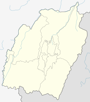 Tadubi  Tadubi Location in Manipur, India | |
| Coordinates: 25°28′0″N 94°8′0″E / 25.46667°N 94.13333°ECoordinates: 25°28′0″N 94°8′0″E / 25.46667°N 94.13333°E | |
| Country |
|
| State | Manipur |
| District | Senapati |
| Languages | |
| • Official | Meiteilon (Manipuri) |
| Time zone | IST (UTC+5:30) |
| PIN | 795104 |
| Vehicle registration | MN |
| Coastline | 0 kilometres (0 mi) |
| Website |
manipur |
Tadubi is a village in Senapati district, Manipur, India. The predominant inhabitant of the town belong to Mao Naga tribe.
Geography
It is located at .[1]
Location
National Highway 39 passes through Tadubi.
Politics
Tadubi falls under the Old Manipur Lok Sabha Constituency.[2]
References
- ↑ http://wikimapia.org/#lat=25.480027&lon=94.138713&z=16&l=0&m=a&v=2 Wikimapia
- ↑ http://archive.eci.gov.in/se2002/background/S14/Dist_PC_AC.pdf Manipur - Election Commission of India
External links
This article is issued from Wikipedia - version of the 9/27/2016. The text is available under the Creative Commons Attribution/Share Alike but additional terms may apply for the media files.