Tangier, Nova Scotia
| Tangier | |
|---|---|
| Rural Community | |
|
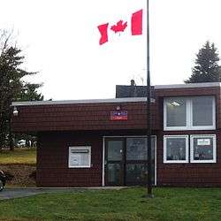
Tangier Post Office | |
 Tangier Location within Nova Scotia | |
| Coordinates: 44°47′59″N 62°42′0″W / 44.79972°N 62.70000°WCoordinates: 44°47′59″N 62°42′0″W / 44.79972°N 62.70000°W | |
| Country |
|
| Province |
|
| Municipality | Halifax Regional Municipality |
| District | 1 |
| Government | |
| • Governing Council | Halifax Regional Council |
| Area | |
| • Total | 230.777 km2 (89.103 sq mi) |
| Time zone | AST (UTC-4) |
| • Summer (DST) | ADT (UTC-3) |
| Canadian Postal code | B0J 3H0 |
| Telephone Exchange | 902 772 |
| Highways |
|
| Part of a series about Places in Nova Scotia | |
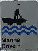
Located along the Marine Drive.
Tangier, located at 44°47'59"N, 62°42'00"W, is a rural community on the Eastern Shore of Nova Scotia, along Trunk 7, 94.9 km from Halifax.[1] Tangier has a church and several private fishing wharfs.
Transportation
1 highway runs through Tangier:Trunk 7. There are also a number of other minor roads, both paved and unpaved.
Distance chart
| Destination | Distance (km) | Distance (mi) | Highways | Notes |
|---|---|---|---|---|
| Sheet Harbour, Nova Scotia[1] | 24.7 | 15.3 | ||
| Middle Musquodoboit, Nova Scotia | 60.3 | 37.5 | ||
| Dartmouth, Nova Scotia | 85.2 | 52.9 | ||
| Truro, Nova Scotia | 110 | 68 | ||
Communications
- Telephone exchange 902-772
- Postal code - B0J 3H0
Navigator
 |
Mooseland, Nova Scotia Musquodoboit Valley Via Mooseland Rd. |
| ||
| Ship Harbour, Nova Scotia Musquodoboit Harbour, Nova Scotia Via |
|
Popes Harbour, Nova Scotia Sheet Harbour, Nova Scotia Via | ||
| ||||
| | ||||
| Clam Harbour, Nova Scotia | Atlantic Ocean | Taylor Head Provincial Park |
References
External links
This article is issued from Wikipedia - version of the 2/4/2016. The text is available under the Creative Commons Attribution/Share Alike but additional terms may apply for the media files.