Tengelic
| Tengelic | |
|---|---|
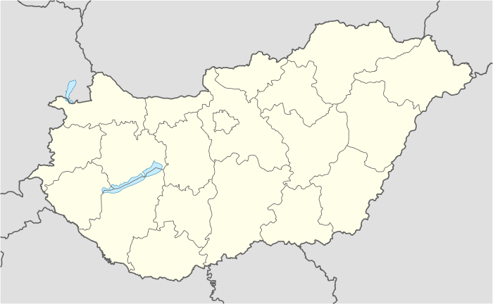 Tengelic Location of Tengelic | |
| Coordinates: 46°31′44″N 18°42′33″E / 46.52890°N 18.70930°ECoordinates: 46°31′44″N 18°42′33″E / 46.52890°N 18.70930°E | |
| Country |
|
| County | Tolna |
| Area | |
| • Total | 70.93 km2 (27.39 sq mi) |
| Population (2004) | |
| • Total | 2,494 |
| • Density | 35.16/km2 (91.1/sq mi) |
| Time zone | CET (UTC+1) |
| • Summer (DST) | CEST (UTC+2) |
| Postal code | 7054 |
| Area code(s) | 74 |
Tengelic is a village in Tolna County, Hungary.
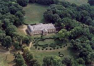
Aerialphotography from Tengelic of de Benyó family Hunting Lodge
External links
- Street map (Hungarian)
This article is issued from Wikipedia - version of the 11/3/2014. The text is available under the Creative Commons Attribution/Share Alike but additional terms may apply for the media files.