Ternopil Airport
| Ternopil | |||||||||||||||
|---|---|---|---|---|---|---|---|---|---|---|---|---|---|---|---|
| IATA: TNL – ICAO: UKLT | |||||||||||||||
| Summary | |||||||||||||||
| Airport type | Public | ||||||||||||||
| Operator | KP "Ternopilaviaavtotrans" | ||||||||||||||
| Location | Ternopil' | ||||||||||||||
| Elevation AMSL | 1,073 ft / 327 m | ||||||||||||||
| Coordinates | 49°31′30″N 025°42′0″E / 49.52500°N 25.70000°ECoordinates: 49°31′30″N 025°42′0″E / 49.52500°N 25.70000°E | ||||||||||||||
| Map | |||||||||||||||
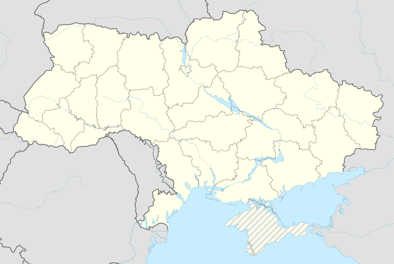 UKLT Location of Ternopil Airport in Ukraine | |||||||||||||||
| Runways | |||||||||||||||
| |||||||||||||||
Ternopil International Airport (also known as Ternopol Airport) (IATA: TNL, ICAO: UKLT) is an airport in Ukraine located 8 km southeast of Ternopil. It services medium-sized airliners. The airport is relatively small and has a simple taxiway/tarmac layout owing to its size.
External links
This article is issued from Wikipedia - version of the 11/27/2016. The text is available under the Creative Commons Attribution/Share Alike but additional terms may apply for the media files.